

NOAA conducting benthic mapping in Lake Michigan
The work is part of the Great Lakes Restoration Initiative
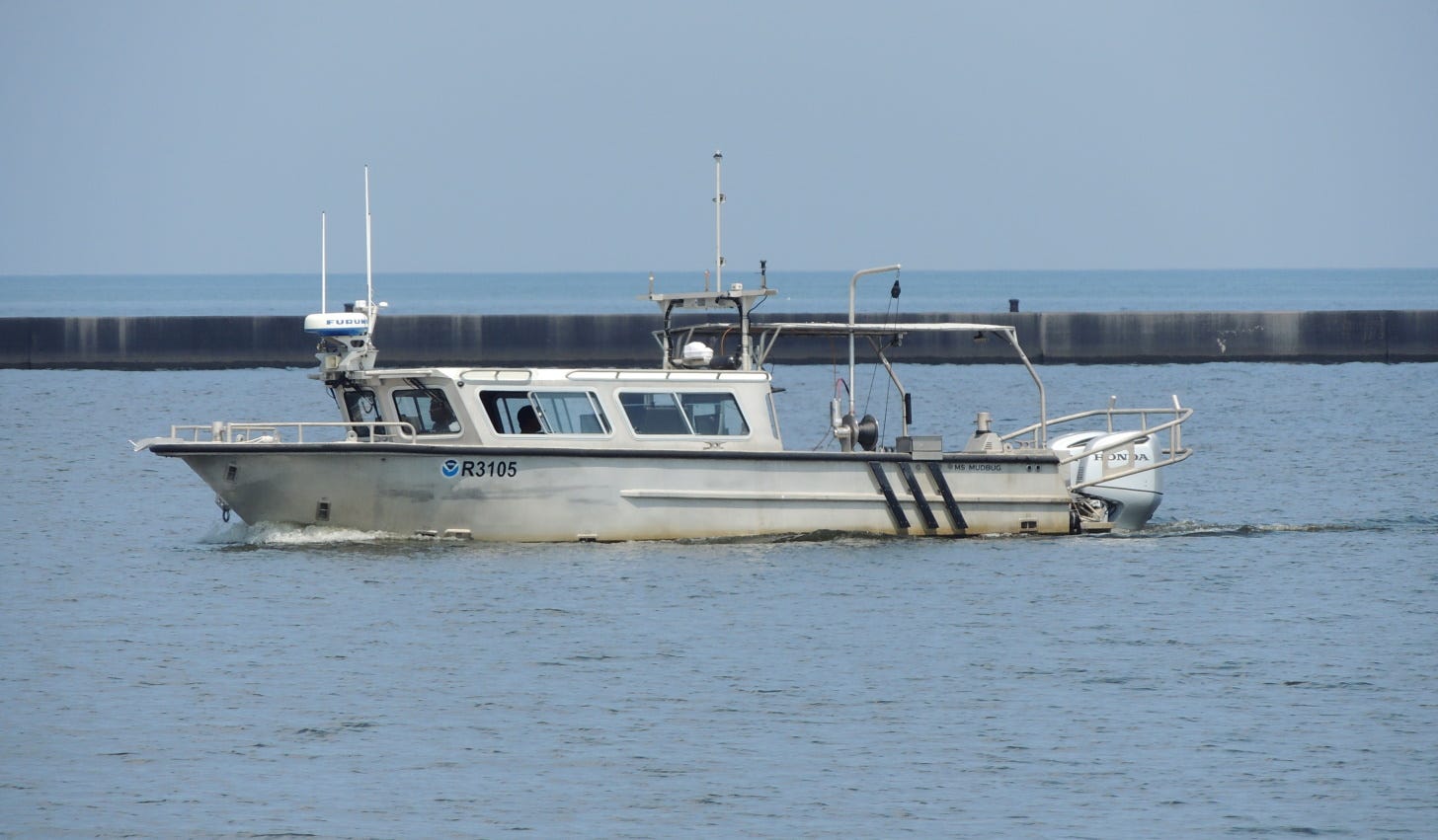
SHEBOYGAN — The National Oceanic and Atmospheric Administration is Sheboygan, Wisconsin this summer conducting benthic mapping in Lake Michigan.
According to Jennifer Day with NOAA's Great Lakes Environmental Research Laboratory, a research vessel has been doing work in and around Sheboygan as part of benthic mapping validation efforts. The work is part of the Great Lakes Restoration Initiative. The area near Sheboygan was mapped last year with multibeam echo sounders (MBES) and this year, crews are doing validation using grab samples and video capture.
The validation work allows NOAA to not only bathymetrically map the bottom of Lake Michigan, but also map bottom types that can be used to support science and ecosystem understanding.